
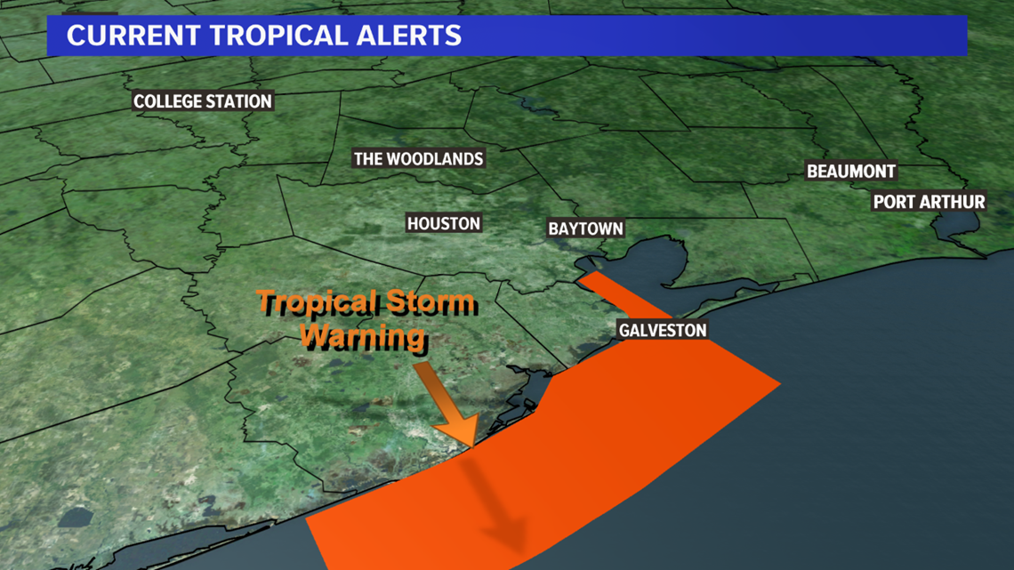
BRYAN, Texas — Tropical Storm Imelda formed off of the upper-Texas Coast early this afternoon and made landfall around 1:00 PM near Freeport, Texas with sustained winds of 40 mph. A Tropical Storm Warning has been issued from Sargent to Port Bolivar, Texas (see Fig. 1).

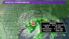
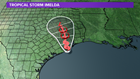
Tropical Storm Imelda currently has maximum sustained winds of 40 mph and is moving north at 7 mph (see Fig. 2). The northward motion is expected to continue over the next 48-hours, which will allow the center to track just east of Bryan-College Station by Wednesday afternoon (see Fig. 3).


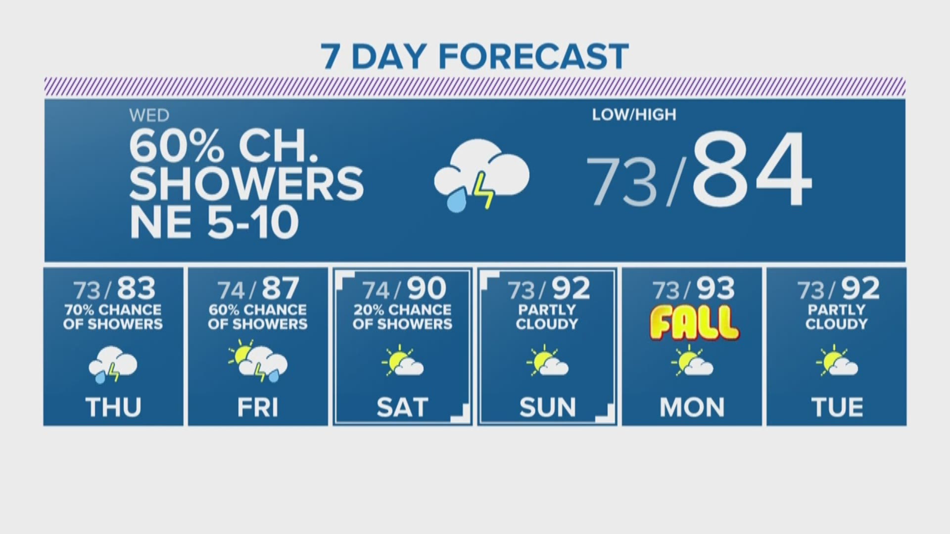
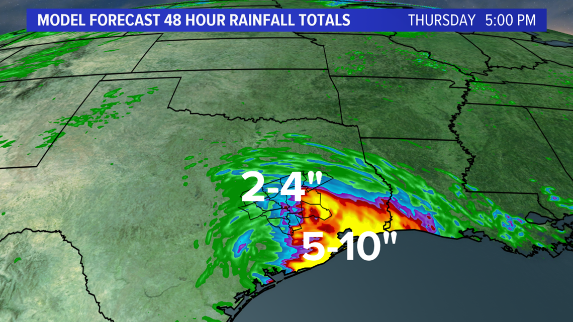
The biggest impacts from Imelda will be heavy rainfall that will rotate into southeastern Texas over the next few days. The flash flood risk is highest for the middle & upper-Texas Coast overnight into Wednesday. 5-10" of rain is possible for the middle & upper-Texas Coast with isolated 10-14" amounts. The heavy rain threat will extend north into Bryan-College Station beginning Wednesday continuing through Thursday. Bryan-College Station could pickup 2-4" (see Fig. 4). This may lead to isolated flash flooding. "Turn Around Don't Drown" if you come across a roadway covered in water.
The formation of this tropical cyclone is not unusual for this time of the year, given we are now in the peak of hurricane season.