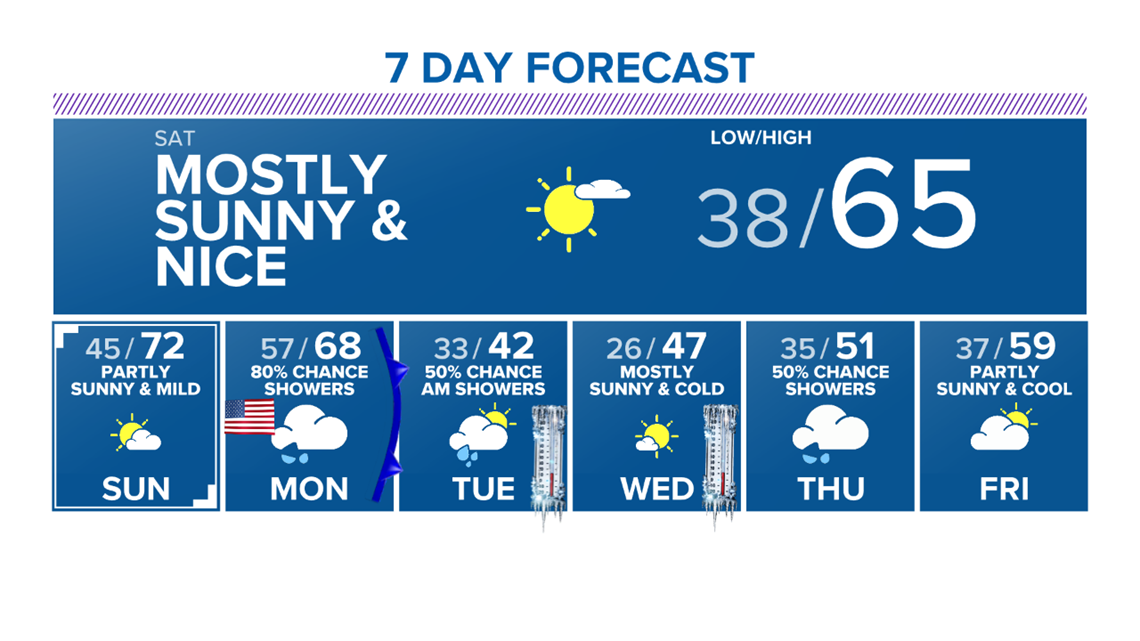
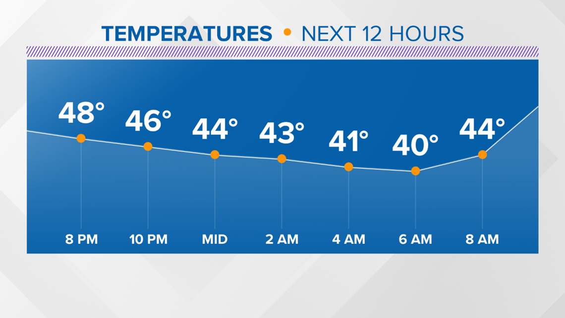
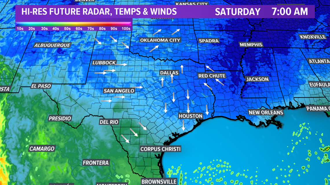
BRYAN, Texas — Temperatures & wind chills will be cool Friday night into Saturday morning. Lows will fall into the upper-30s & lower-40s. Skies will gradually clear by Saturday morning with no chance for any precipitation.
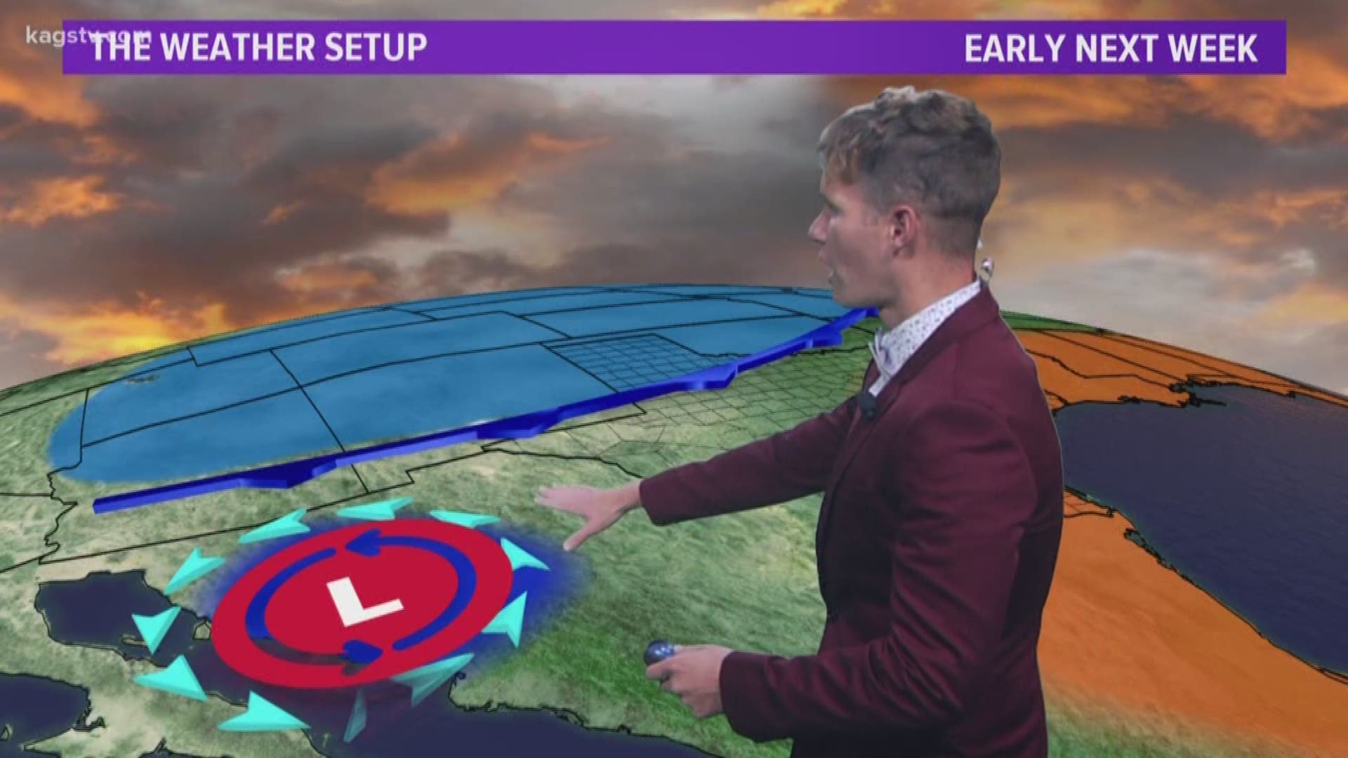
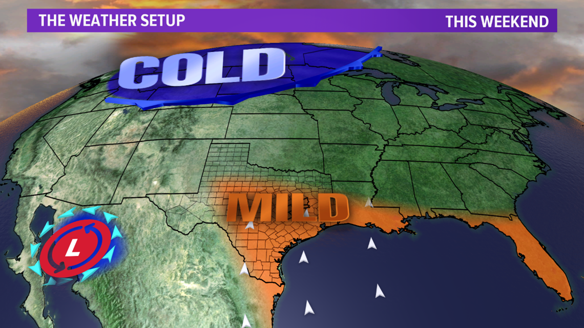
The weekend will be nice with temperatures returning into the 60s Saturday and the low-70s by Sunday. However, a nasty, cold airmass is lurking to the north. The first Arctic airmass of the season will move into the Brazos Valley Monday afternoon as a large dip in the jet stream develops. Temperatures should climb into the 60s by lunchtime on Monday but quickly fall into the 30s with windchills in the teens by Monday night.
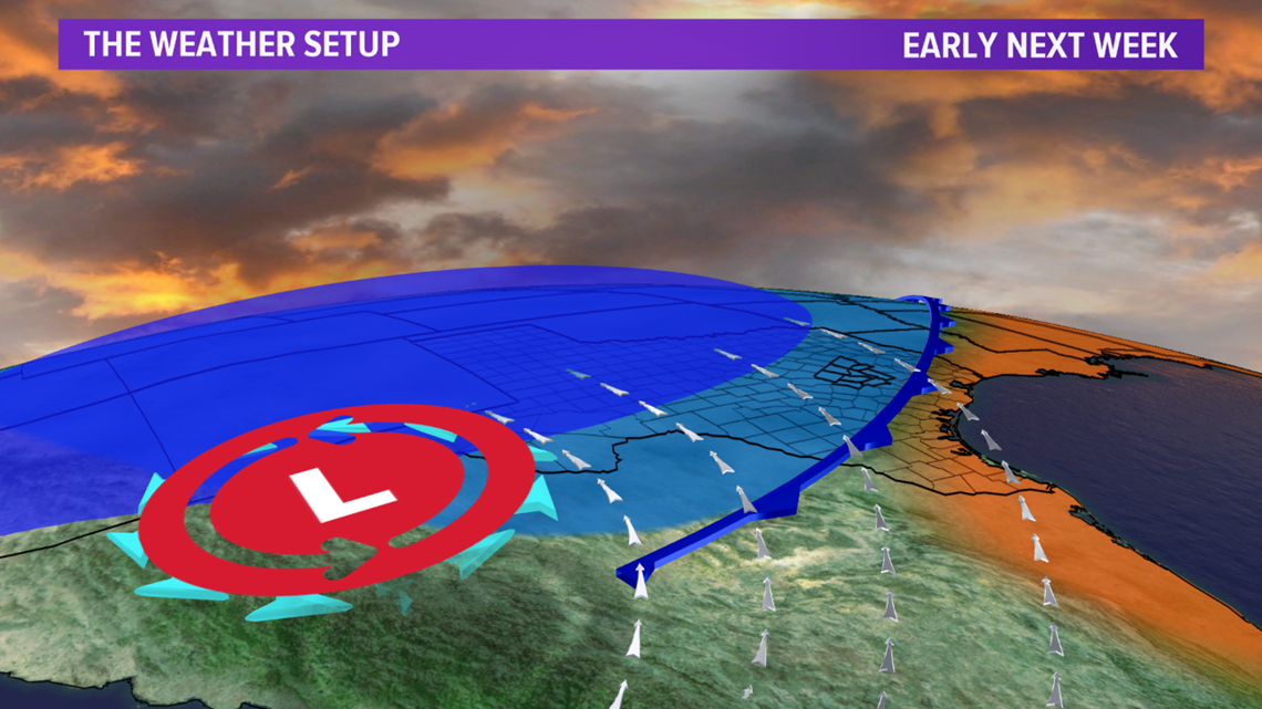
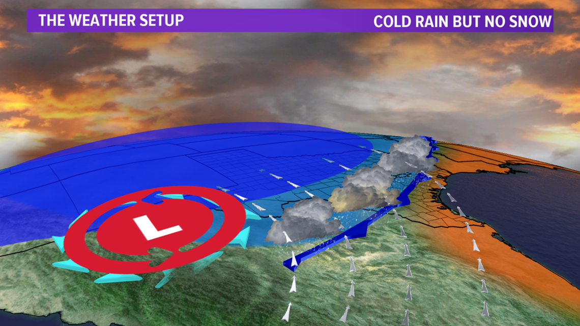
An upper-level low to the west, along with the frontal passage, will generate rain along the front. There is also a window for brief period post-frontal rain but it appears the the moisture will move out of the Brazos Valley just before the airmass gets cold enough for sleet.
Temperatures will be downright cold behind the Arctic front. High temperatures will struggle in the 40s with lows in the 20s so expect a hard, long freeze. Wind chills will fall into the teens making the cold dangerous. Now is the time to prepare for the cold temperatures.