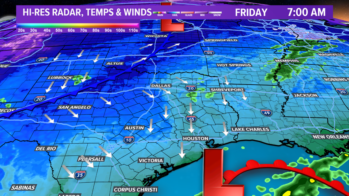
BRYAN, Texas — Upper-level storm system approaching Texas is generating lift across the Brazos Valley. This will lead to isolated showers overnight Thursday into early Friday morning. The heaviest precipitation will be confined to coastal Texas where a coastal low is expected to develop overnight. As most people head to work and school Friday morning, dry weather is expected as precipitation moves east of the Brazos Valley by sunrise.


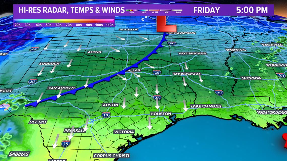
By the afternoon, a few peaks of sunshine are possible but temperatures will remain cool in the mid-to-upper-50s. This is below average.

The weekend will be absolutely gorgeous with temperatures climbing into the upper-60s on Saturday and reaching the 70s on Sunday. This is in response to an upper-level ridge building east. Morning temperatures over the weekend, however, will be on the cool side.

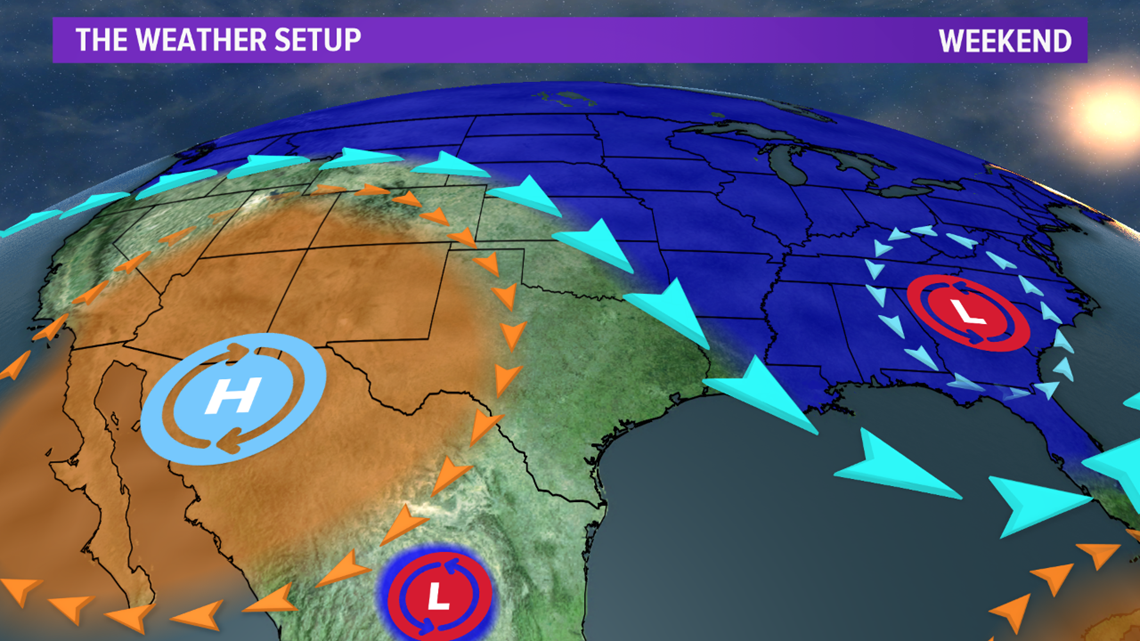
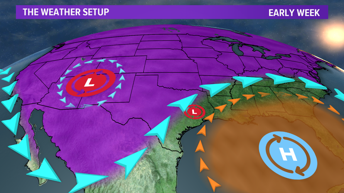
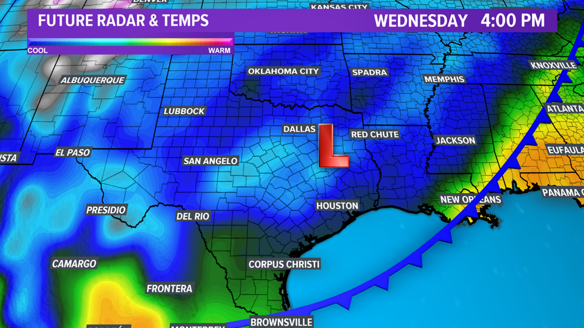
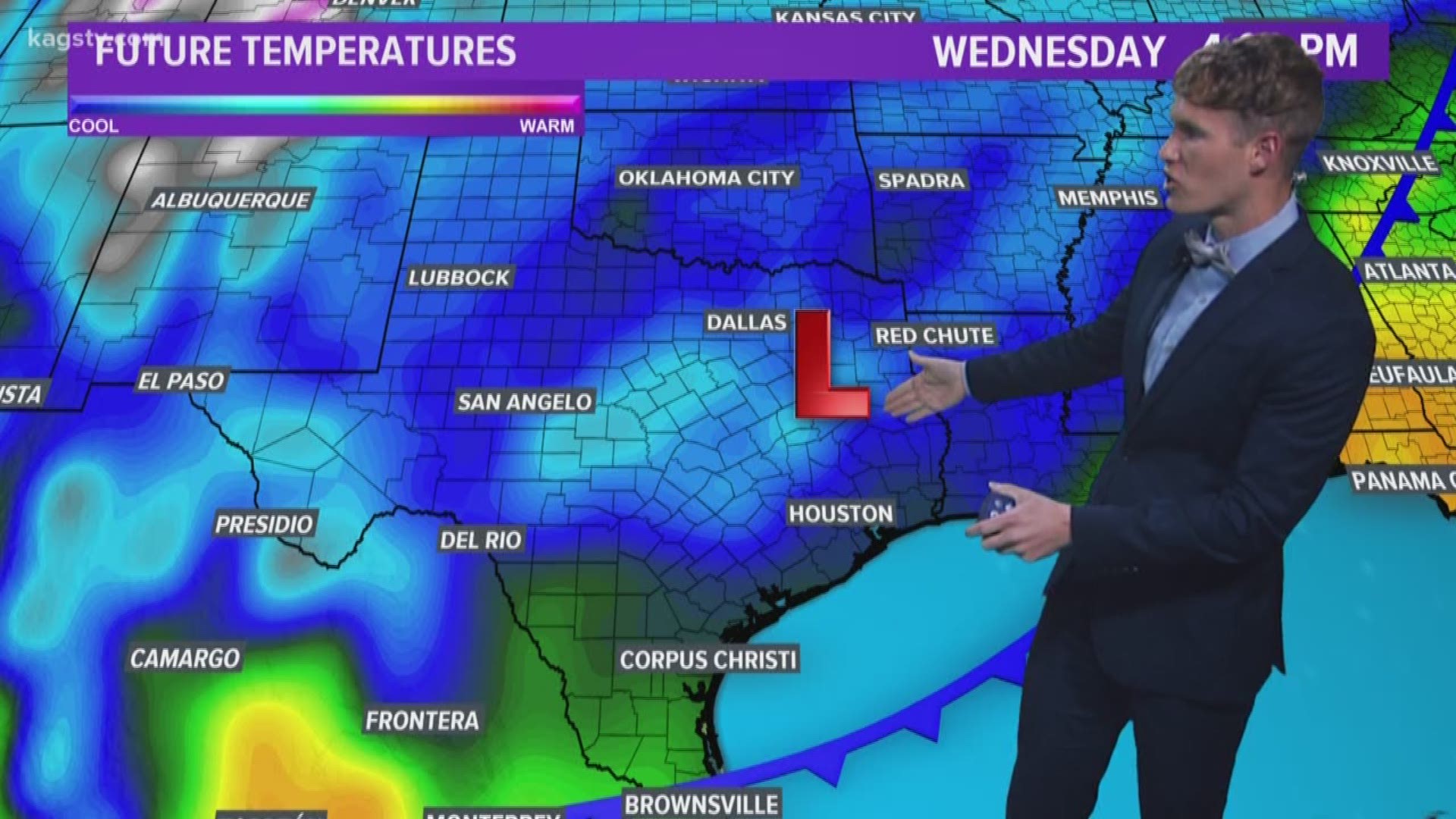
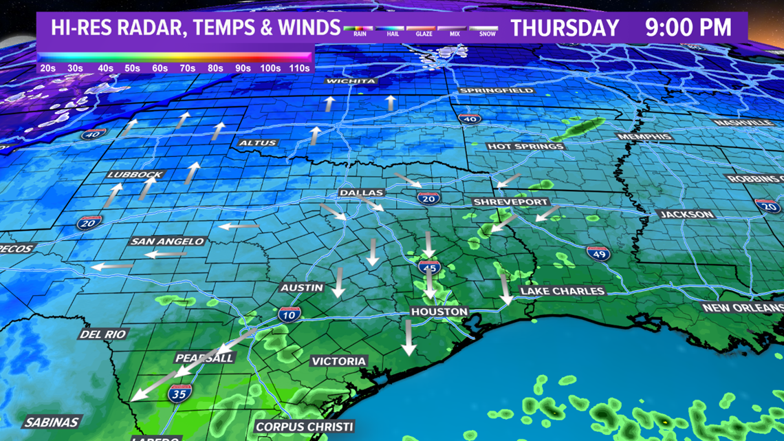
All the attention shifts to next week as a deep trough establishes itself across the West. This trough will move east, which will send a cold front through the Brazos Valley late Tuesday/early Wednesday. This cold front will drop temperatures sharply. It is likely that temperatures will stay in the 40s on Wednesday. A weak system will move in behind the cold front. Too early to determine if enough moisture & lift will occur for precipitation but this is something to keep a close eye on with cold temperatures in place. Stay tuned!